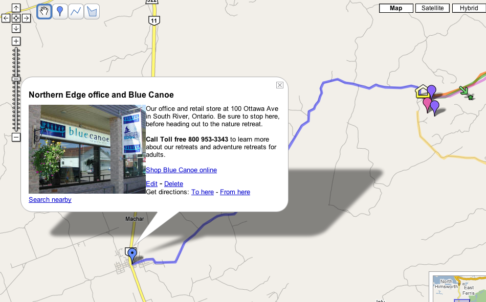
Google, has opened up mapping tools to its customers, giving away tools that let users customize Google Maps. This means pinpointing tourism locations like restaurants or hotels, drawing routes, attaching photos and video to existing online maps. For some, it means an opportunity to make sure our locations are correctly shown on Google Maps. Users can easily get directions or plan travel using the tool.
> has long been open to professional programmers to tinker as I noted in yesterdays post, but the new tools, called MyMaps, make the process much simpler for anyone. "Who better to create maps than local tourism experts?" Jessica Lee, product manager for Google Maps. "MyMaps makes map-making universally accessible to anyone."
Users can also publish their custom maps so others can find them when they search Google Maps. Users or Google Local will see relevant user-generated MyMaps show up in a special section along with traditional results. If they know hypertext, users can easily publish maps to a social-network profile or blog.
> we used to show our canoe trip routes. Detailed itineraries and video coming soon.
Also check out how
Nova Scotia uses Google Earth to showcase tourism experiences.
Todd Lucier -
TourismClicks.com
Labels: google maps